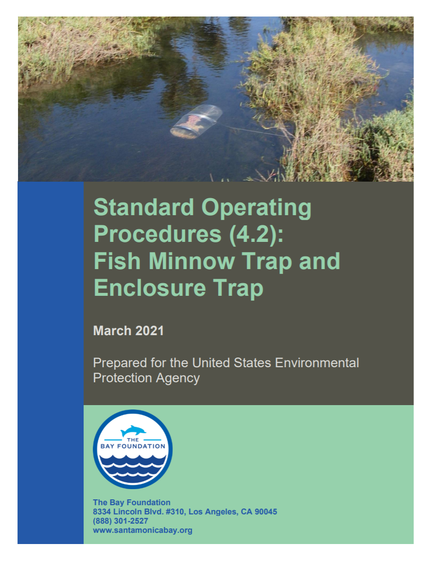
This detailed report outlines fish minnow trap and enclosure trap evaluation techniques. Prepared for the United States Environmental Protection Agency.
Topic Category: Revitalizing Wetlands
Standard Operating Procedures (4.1): Fish Beach Seine
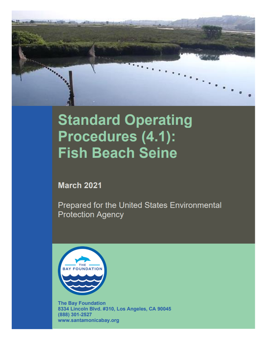
This detailed report outlines fish beach seine protocols and evaluation techniques. Prepared for the United States Environmental Protection Agency.
Standard Operating Procedures (3.5): Vegetation Mapping
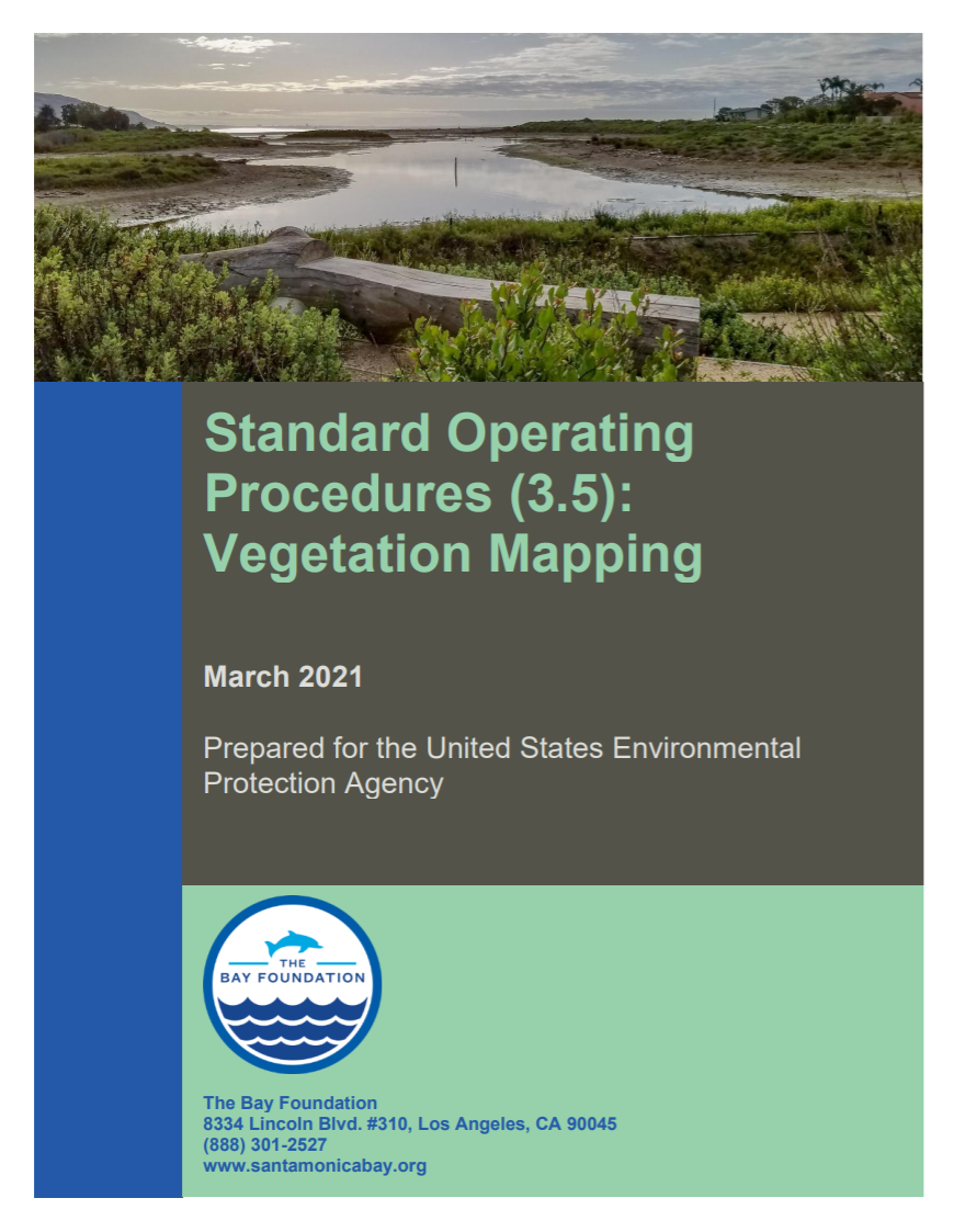
This detailed report outlines vegetation mapping evaluation and techniques. Prepared for the United States Environmental Protection Agency.
Standard Operating Procedures (3.4): Seed Bank Germination
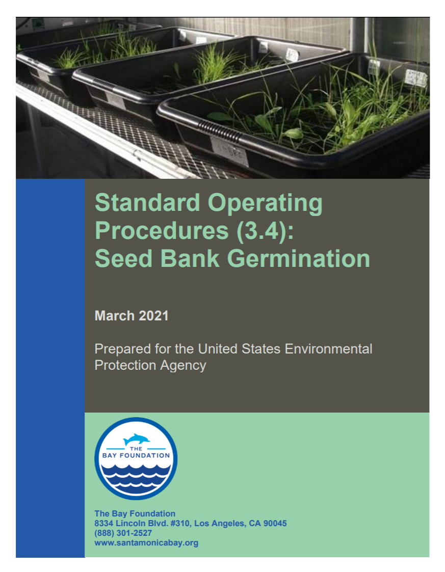
This detailed report outlines seed bank germination evaluation techniques. Prepared for the United States Environmental Protection Agency.
Standard Operating Procedures (3.3): Vegetation Biomass
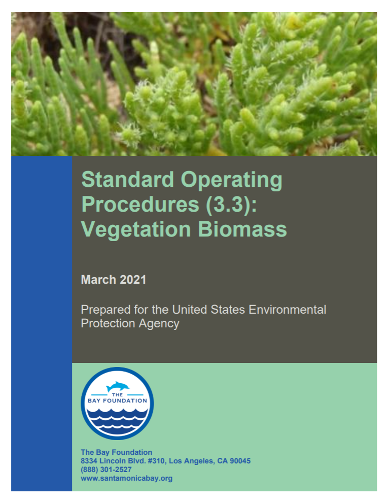
This detailed report outlines vegetation biomass evaluation techniques. Prepared for the United States Environmental Protection Agency.
Standard Operating Procedures (3.2): Vegetation Cover Surveys
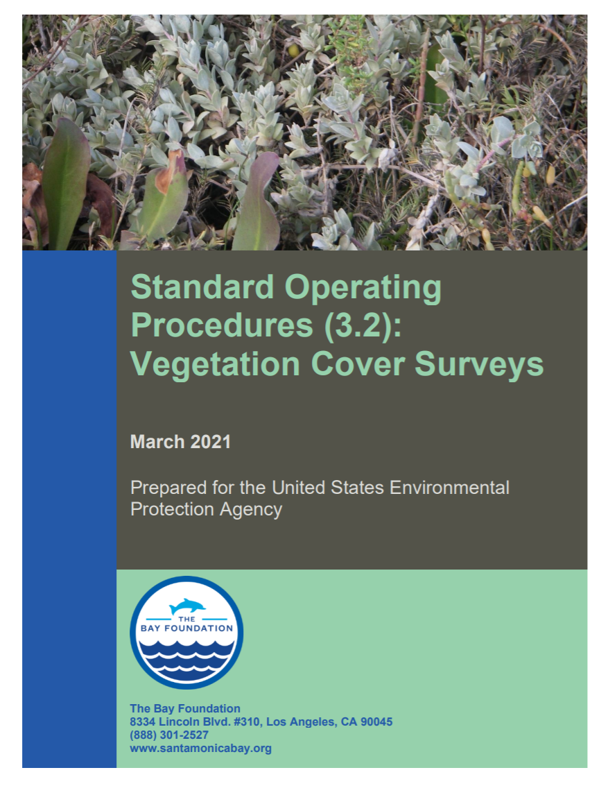
This detailed report outlines vegetation cover survey evaluation techniques. Prepared for the United States Environmental Protection Agency.
Standard Operating Procedures (3.1): Algae and Submerged Aquatic Vegetation
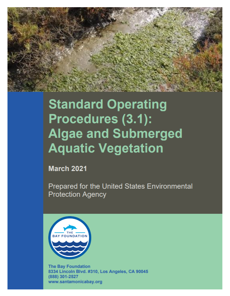
This detailed report outlines algae and submerged aquatic vegetation evaluation techniques. Prepared for the United States Environmental Protection Agency.
Standard Operating Procedures (2.1): Soil Salinity, Texture, and Pore Water
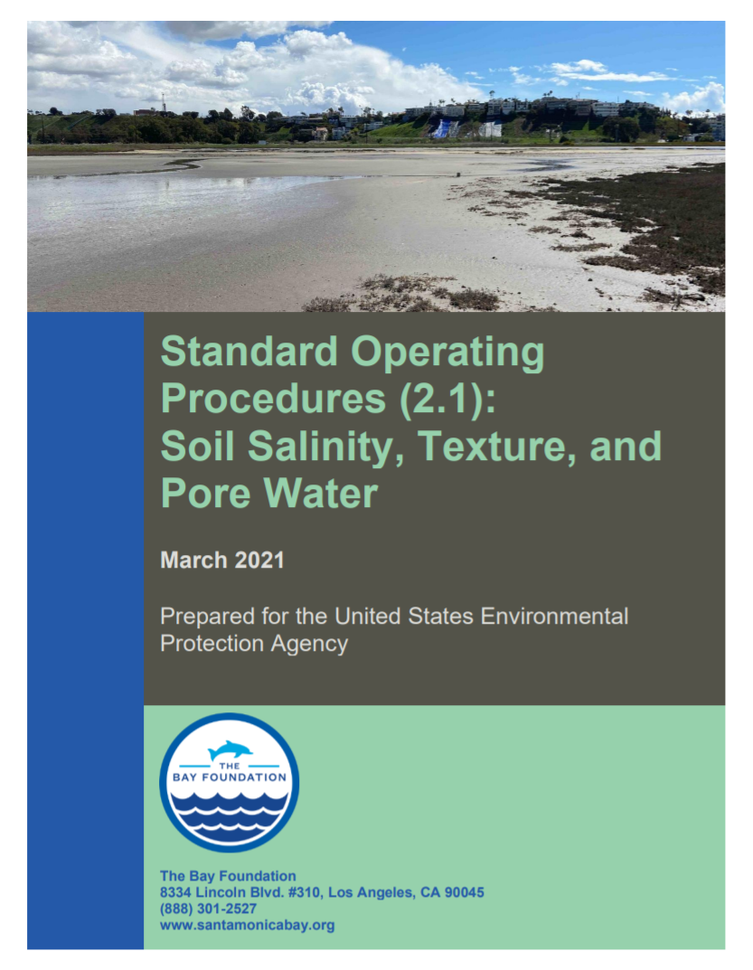
This detailed report outlines soil salinity, texture and pore water monitoring evaluation and measuring techniques. Prepared for the United States Environmental Protection Agency.
Standard Operating Procedures (1.1): Continuous Water Quality Monitoring – Data Sonde
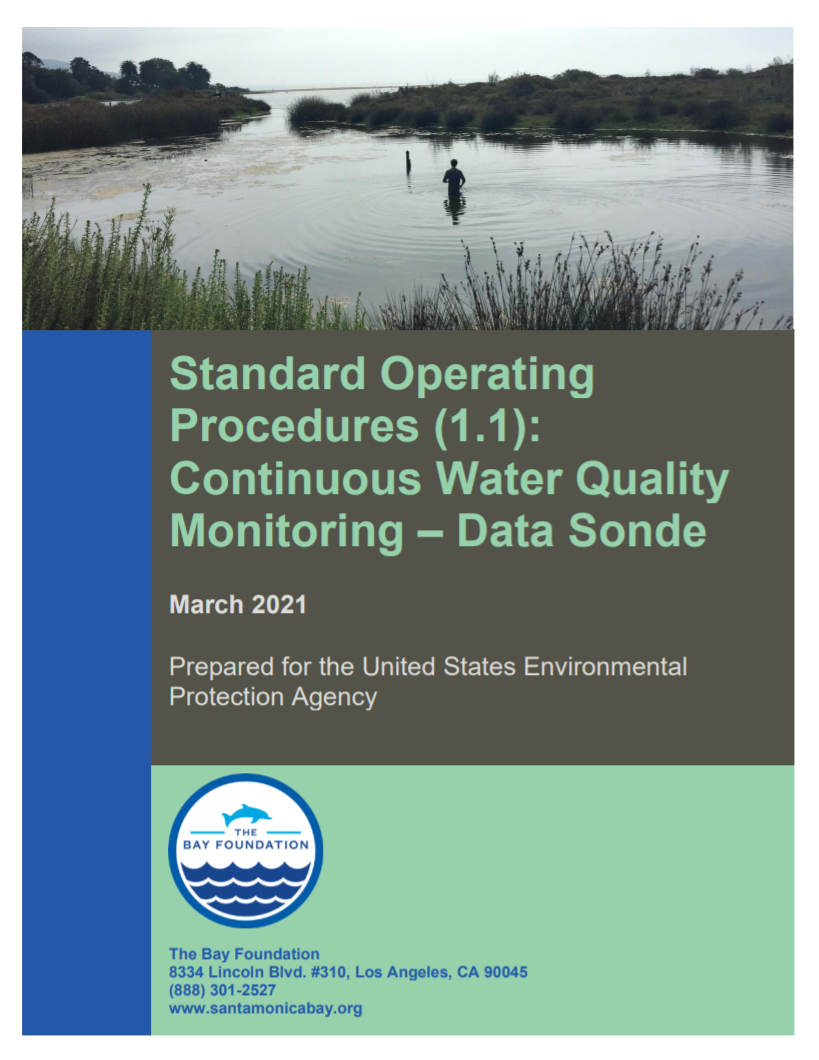
This detailed report outlines water quality monitoring evaluation and measuring techniques. Prepared for the United States Environmental Protection Agency.
Standard Operating Procedures (8.1): Motion Wildlife Camera Surveys
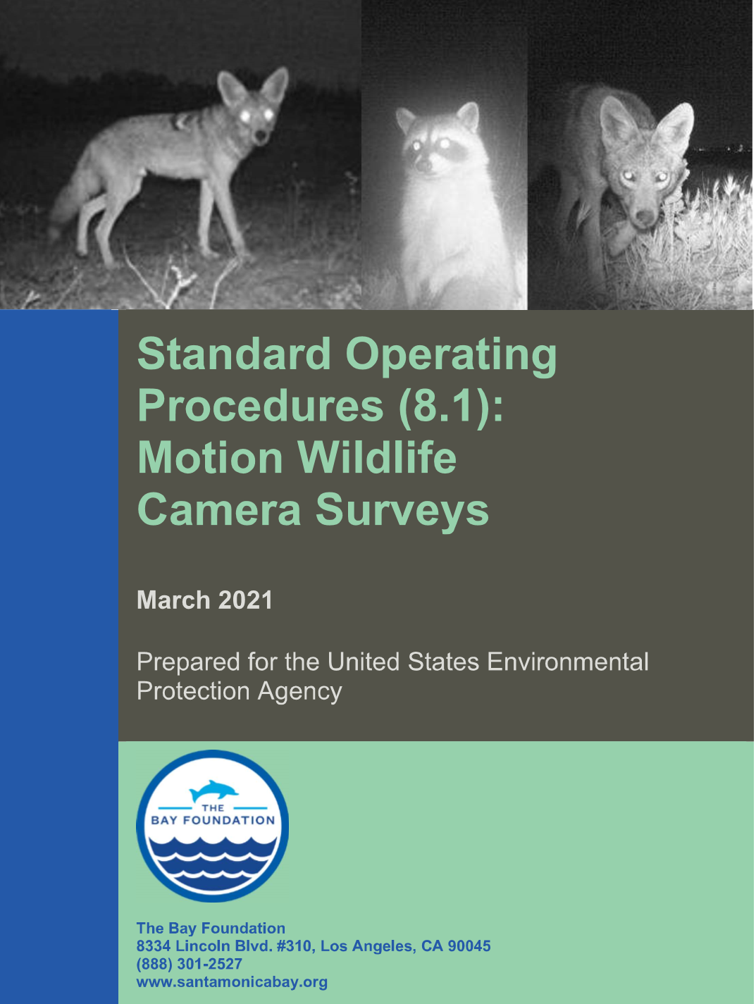
Standard Operating Procedures for Motion Wildlife Camera Surveys. Prepared for the United States Environmental Protection Agency.