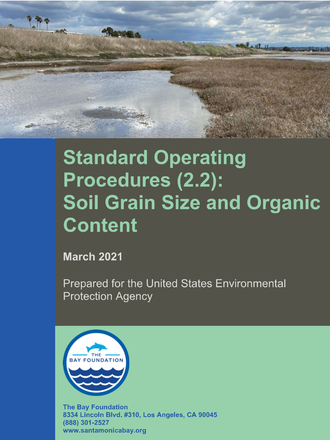
The objective of this Standard Operating Procedure (SOP) is to describe the equipment and protocols for analyzing soil grain size and the percentage of organic matter in the sample. With some modifications, organic content analyses can be modified to assess “blue carbon” stored in soils, which is critical for understanding the role of wetlands in… Continue reading Standard Operating Procedures (2.2): Soil Grain Size and Organic Content
Resource Type: Project Documents
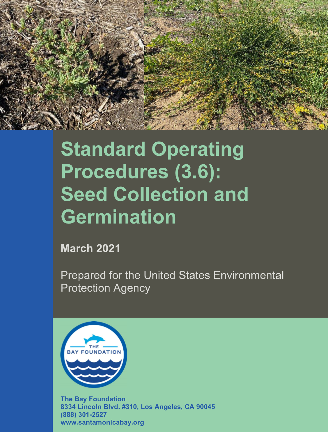
Standard Operating Procedures (3.6): Seed Collection and Germination
This document outlines the basic seed collection and germination strategies to be employed within southern California estuarine and adjacent upland habitats. For more detailed information on specific plant species, see Barton et al. 2016, published in the Bulletin of Southern California Academy of Sciences, which lists available information for 84 native plant species common to… Continue reading Standard Operating Procedures (3.6): Seed Collection and Germination
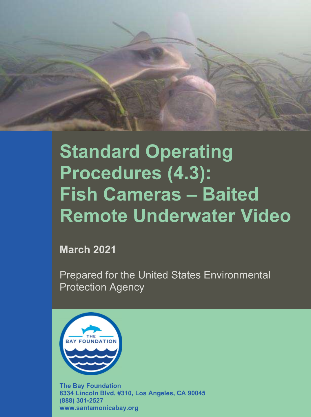
Standard Operating Procedures (4.3): Fish Cameras – Baited Remote Underwater Video
Defining the fish assemblage of a wetland can be difficult, due to the highly mobile nature of the fauna. Characterizing wetland fish assemblages is often a primary goal of monitoring efforts, but besides the mobility, there are often inherent biases associated with sampling methodologies. Therefore, it is often advantageous to use a variety of methodologies… Continue reading Standard Operating Procedures (4.3): Fish Cameras – Baited Remote Underwater Video
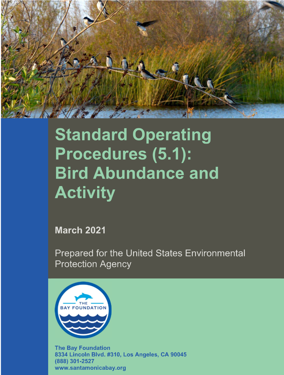
Standard Operating Procedures (5.1): Bird Abundance and Activity
The primary purpose of these observational sampling methods is to develop maps of species presence and distributions including information on rare species, to quantify a snapshot of the avian community, and/or to supplement historical or volunteer data. Additionally, recording activity of each species will allow for an assessment of higher ecological function of the survey… Continue reading Standard Operating Procedures (5.1): Bird Abundance and Activity
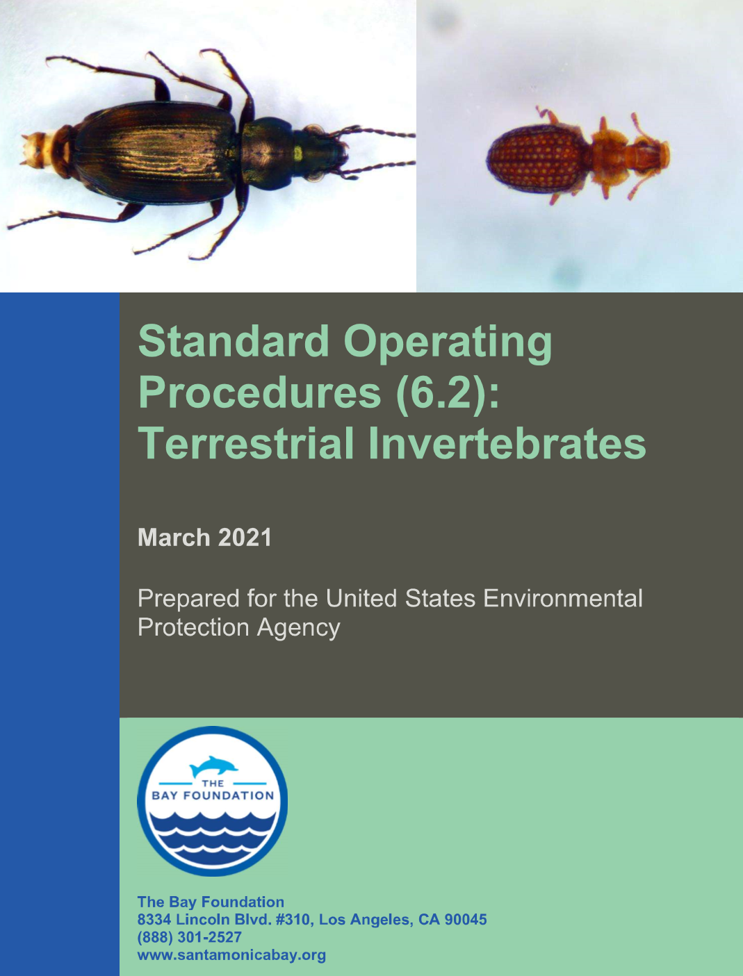
Standard Operating Procedures (6.2): Terrestrial Invertebrates
Terrestrial invertebrates are a vital component of wetland food webs and are indicators of the overall health of a system (Zedler 2001). The primary purpose of this sampling method is to document aerial and epigeal (above soil surface) arthropod productivity (as biomass per unit area, or biomass per day) for each habitat or area by… Continue reading Standard Operating Procedures (6.2): Terrestrial Invertebrates
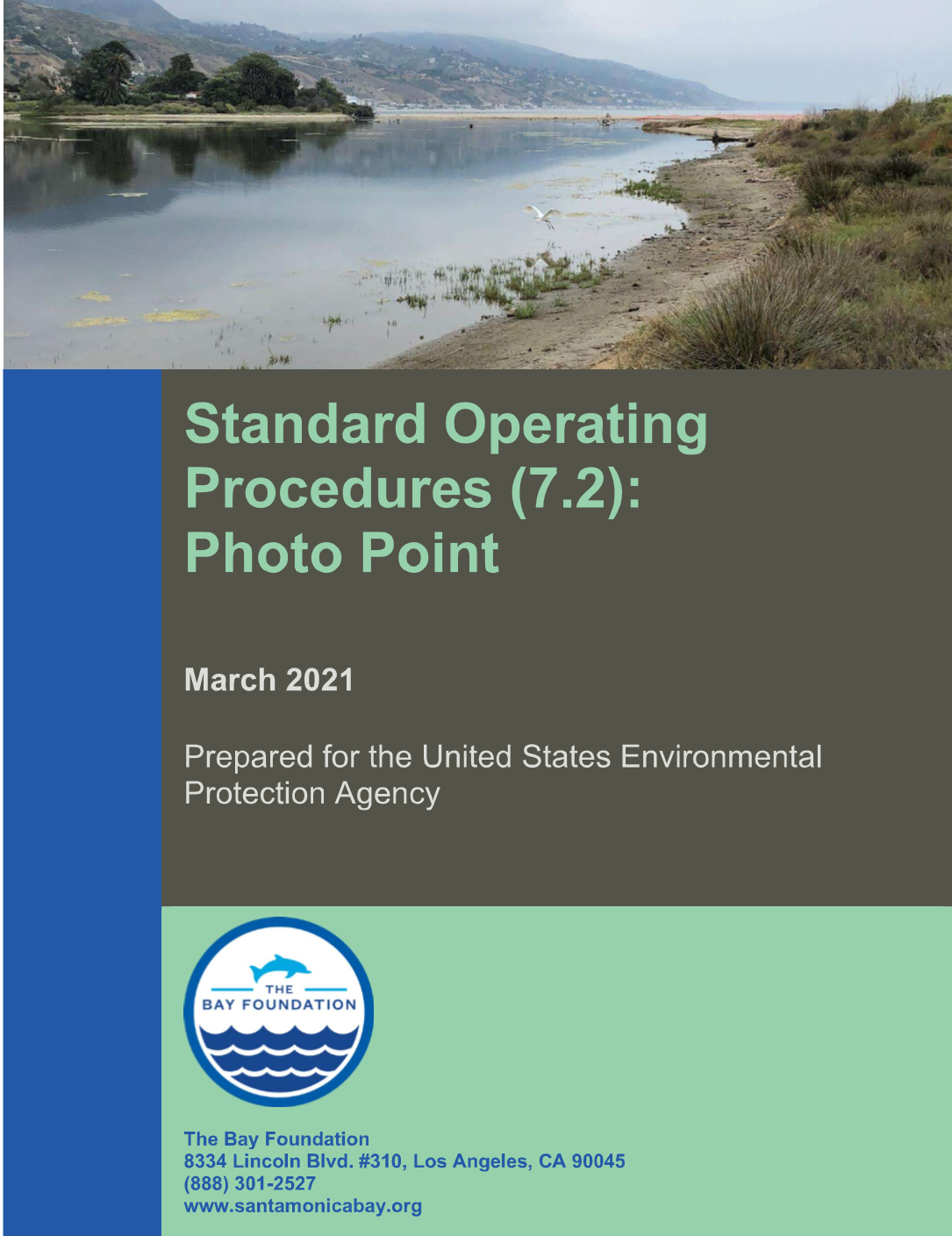
Standard Operating Procedures (7.2): Photo Point
The primary purpose of this sampling method is to capture broad changes in the landscape and vegetation communities over seasons or years or to visually track restoration trajectories over time. This method collects georeferenced photos for use in site management (e.g., invasive species tracking) and long-term data collection. Each year (or seasonally), photograph(s) taken at… Continue reading Standard Operating Procedures (7.2): Photo Point
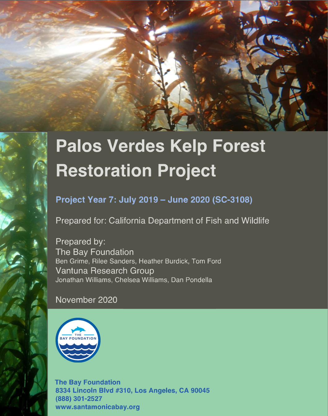
Kelp Forest Restoration Annual Report July 2019 – June 2020 (Year 7)
Annual report of Kelp Restoration Activities, including Stated Components in Scientific Collecting Permit (SCP). Prepared for the California Department of Fish and Wildlife.
Malibu Living Shoreline Project: Supplemental Project Plan – Signage, Fencing, & Symbolic Pathways
This document was drafted as a supplemental permit requirement to provide additional detail on the installation of specific project elements as part of the Malibu Living Shoreline Project (MLSP).
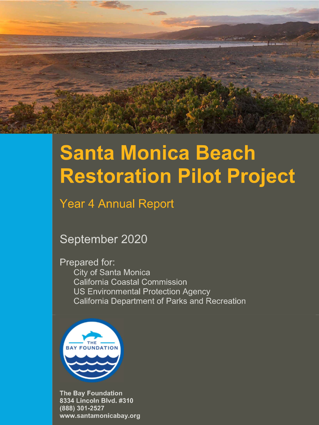
Santa Monica Beach Restoration Pilot Project – Year 4 Report
This report summarizes activities for the Santa Monica Beach Restoration Pilot Project from December 2015 through August 2020. The restoration was implemented in two phases over the course of two weeks in December 2016, including the installation of fencing and seeding of native coastal strand vegetation species. For details on the implementation efforts and prior… Continue reading Santa Monica Beach Restoration Pilot Project – Year 4 Report
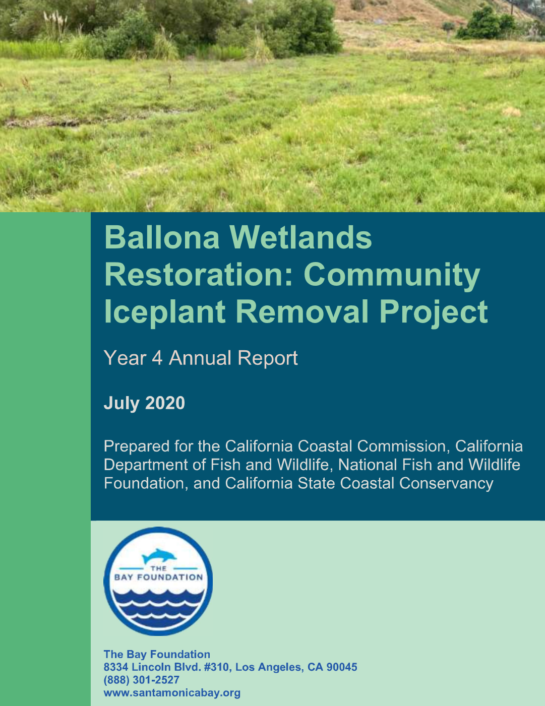
Ballona Wetlands Restoration: Community Iceplant Removal Project, Year 4 Annual Report
The Bay Foundation (TBF), in partnership with California Department of Fish and Wildlife (CDFW), Friends of Ballona Wetlands (FBW), and community volunteers are conducting a project to remove invasive vegetation while broadening public involvement and stewardship at the Ballona Wetlands Ecological Reserve (Reserve). This report serves as the fourth annual report of the “Ballona Wetlands… Continue reading Ballona Wetlands Restoration: Community Iceplant Removal Project, Year 4 Annual Report
