This detailed report outlines vegetation biomass evaluation techniques. Prepared for the United States Environmental Protection Agency.
Resource Type: Reports
Standard Operating Procedures (3.2): Vegetation Cover Surveys
This detailed report outlines vegetation cover survey evaluation techniques. Prepared for the United States Environmental Protection Agency.
Standard Operating Procedures (3.1): Algae and Submerged Aquatic Vegetation
This detailed report outlines algae and submerged aquatic vegetation evaluation techniques. Prepared for the United States Environmental Protection Agency.
Standard Operating Procedures (2.1): Soil Salinity, Texture, and Pore Water
This detailed report outlines soil salinity, texture and pore water monitoring evaluation and measuring techniques. Prepared for the United States Environmental Protection Agency.
Standard Operating Procedures (1.1): Continuous Water Quality Monitoring – Data Sonde
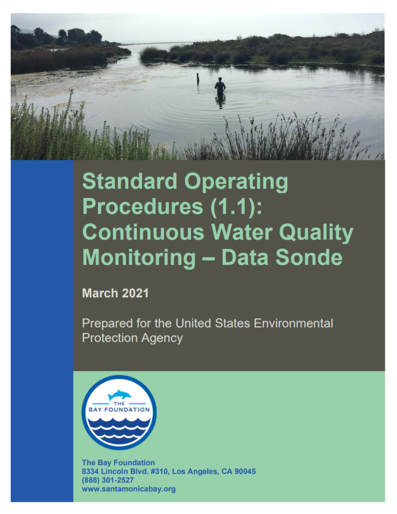
This detailed report outlines water quality monitoring evaluation and measuring techniques. Prepared for the United States Environmental Protection Agency.
Santa Monica Bay National Estuary Program Comprehensive Monitoring Program – April 2021
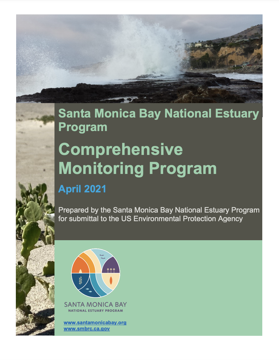
The Santa Monica Bay region needs a Comprehensive Monitoring Program (CMP) to inform the community and interested stakeholders on the status and trends of the condition of key habitats. The purpose of the CMP is to provide a framework to use monitoring data to inform managers, practitioners, and the public on conditions and trends that… Continue reading Santa Monica Bay National Estuary Program Comprehensive Monitoring Program – April 2021
Standard Operating Procedures (8.1): Motion Wildlife Camera Surveys
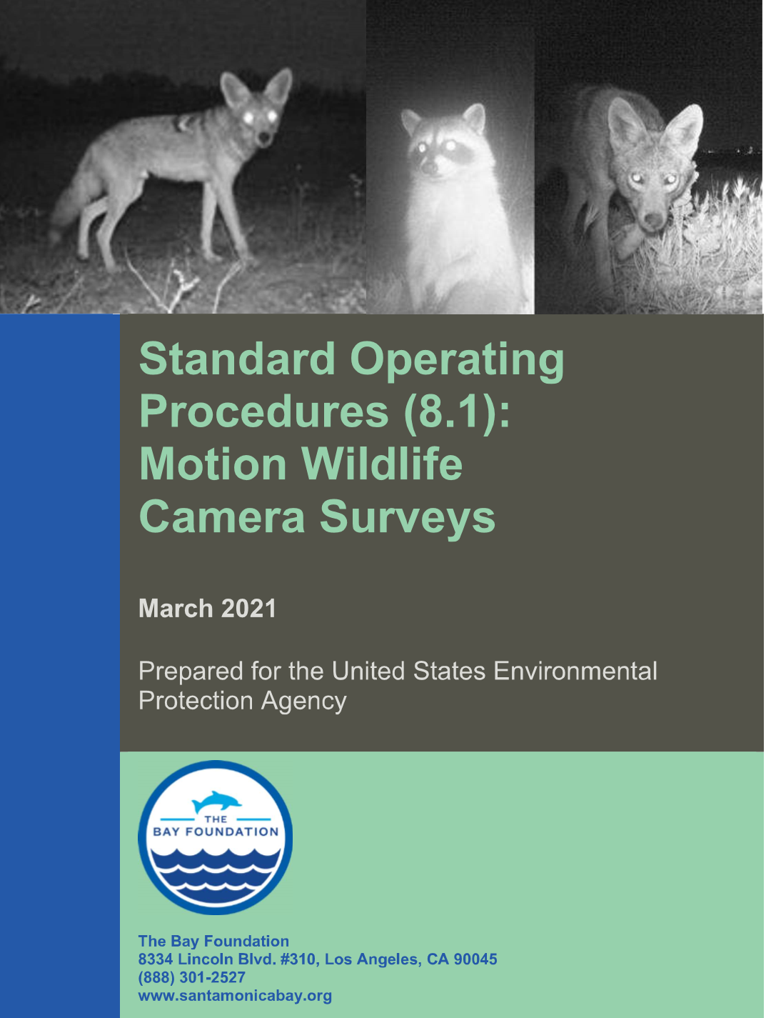
Standard Operating Procedures for Motion Wildlife Camera Surveys. Prepared for the United States Environmental Protection Agency.
Standard Operating Procedures (2.2): Soil Grain Size and Organic Content
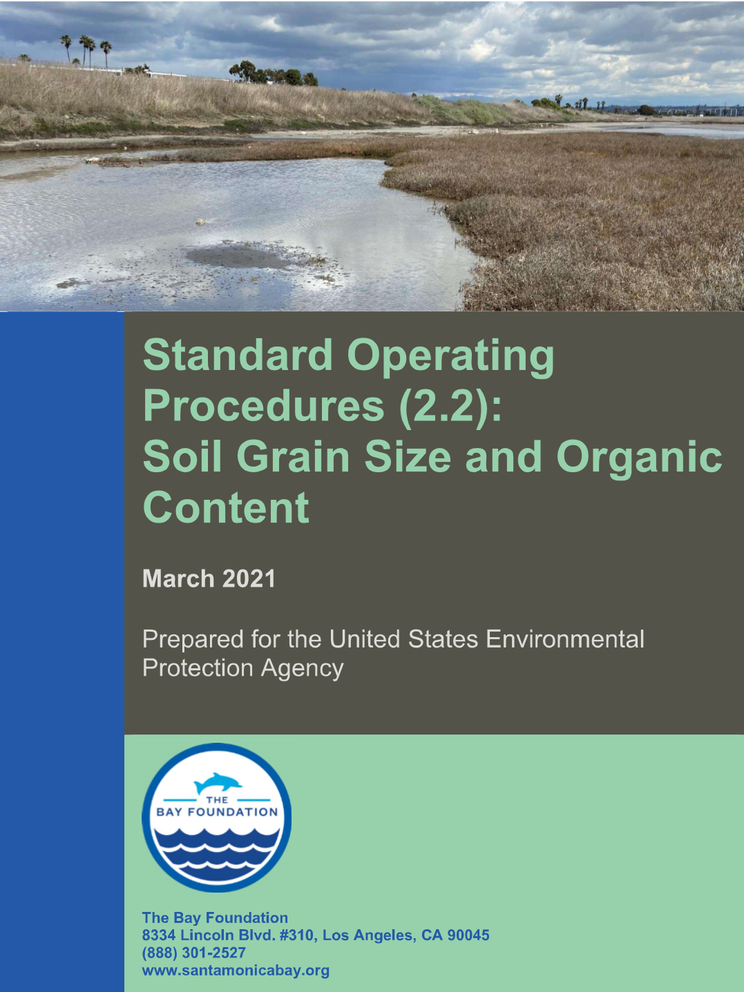
The objective of this Standard Operating Procedure (SOP) is to describe the equipment and protocols for analyzing soil grain size and the percentage of organic matter in the sample. With some modifications, organic content analyses can be modified to assess “blue carbon” stored in soils, which is critical for understanding the role of wetlands in… Continue reading Standard Operating Procedures (2.2): Soil Grain Size and Organic Content
Standard Operating Procedures (3.6): Seed Collection and Germination
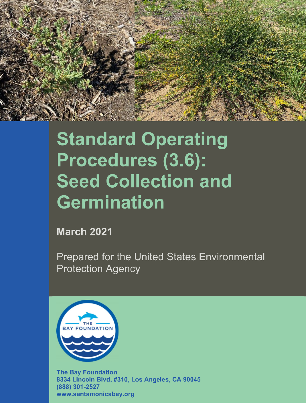
This document outlines the basic seed collection and germination strategies to be employed within southern California estuarine and adjacent upland habitats. For more detailed information on specific plant species, see Barton et al. 2016, published in the Bulletin of Southern California Academy of Sciences, which lists available information for 84 native plant species common to… Continue reading Standard Operating Procedures (3.6): Seed Collection and Germination
Standard Operating Procedures (4.3): Fish Cameras – Baited Remote Underwater Video
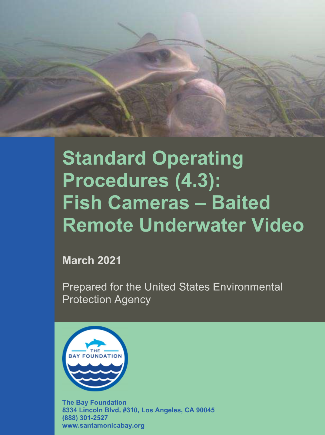
Defining the fish assemblage of a wetland can be difficult, due to the highly mobile nature of the fauna. Characterizing wetland fish assemblages is often a primary goal of monitoring efforts, but besides the mobility, there are often inherent biases associated with sampling methodologies. Therefore, it is often advantageous to use a variety of methodologies… Continue reading Standard Operating Procedures (4.3): Fish Cameras – Baited Remote Underwater Video